![C-MAP 4D SA-D500 Costa Rica to Chile to Falklands [M-SA-D500-MS]](http://boatpartsdepot.com/cdn/shop/files/op_blade_hero_icast2024_1.png?v=1758553857&width=3840)
![C-MAP 4D SA-D500 Costa Rica to Chile to Falklands [M-SA-D500-MS]](http://boatpartsdepot.com/cdn/shop/files/lumitec.png?v=1758638733&width=3840)
![C-MAP 4D SA-D500 Costa Rica to Chile to Falklands [M-SA-D500-MS]](http://boatpartsdepot.com/cdn/shop/files/garmin.webp?v=1758640530&width=3840)
![C-MAP 4D SA-D500 Costa Rica to Chile to Falklands [M-SA-D500-MS]](http://boatpartsdepot.com/cdn/shop/files/Untitled_design_-_2024-08-27T113233.566.png?v=1724740371&width=3840)
![C-MAP 4D SA-D500 Costa Rica to Chile to Falklands [M-SA-D500-MS]](http://boatpartsdepot.com/cdn/shop/files/kraken.jpg?v=1758232543&width=3840)
![Humminbird LakeMaster VX Premium - Mid-South States [602005-1]](http://boatpartsdepot.com/cdn/shop/files/96686XL.jpg?v=1723589032&width=3840)
![Humminbird LakeMaster VX Premium - Northeast [602007-1]](http://boatpartsdepot.com/cdn/shop/files/96688XL.jpg?v=1723589049&width=3840)
![Humminbird LakeMaster VX Premium - Mid-Atlantic States [602004-1]](http://boatpartsdepot.com/cdn/shop/files/96685XL.jpg?v=1723589023&width=3840)
![Humminbird LakeMaster Aerial Satellite View - Louisiana Delta [600050-1]](http://boatpartsdepot.com/cdn/shop/files/62442XL.jpg?v=1723159566&width=3840)
![Humminbird LakeMaster VX Premium - Wisconsin [602010-1]](http://boatpartsdepot.com/cdn/shop/files/96691XL.jpg?v=1723589074&width=3840)
![Humminbird LakeMaster VX Premium - Minnesota [602006-1]](http://boatpartsdepot.com/cdn/shop/files/96687XL.jpg?v=1723589040&width=3840)
![Humminbird LakeMaster VX Premium - Dakota/Nebraska [602001-1]](http://boatpartsdepot.com/cdn/shop/files/96682XL.jpg?v=1723588996&width=3840)
Built for the Water
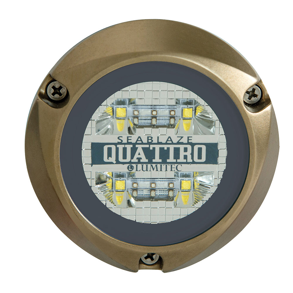
Lighting the Way Below – Enhancing Every Dive
Underwater Glow, Unmatched Visibility
![C-MAP 4D SA-D500 Costa Rica to Chile to Falklands [M-SA-D500-MS]](http://boatpartsdepot.com/cdn/shop/files/71429XL_180x.jpg?v=1723185811)
4D SA-D500 Costa Rica to Chile to Falklands
C-MAP charts have long been held in high regard by boaters because they combine aesthetically pleasing vector electronic charts with reliable sources. With the backing of Jeppesen's parent company Boeing, a well-respected multibillion dollar global company, boaters can be assured that C-MAP charts are of the highest standard.
C-Map 4D will provide boaters with charts packed additional features such as raster chart views or Satellite images to maximize situational awareness.
Coverage Area:
Costa Rica to Chile and the Falklands
Features:
Specifications:
![Navionics NASA004L - Mexico, Caribbean to Brazil - Navionics+ [010-C1364-30]](http://boatpartsdepot.com/cdn/shop/files/92603XL.jpg?v=1723564691&width=3840)
![Navionics NAUS012R - Canada, East Great Lakes - Navionics+ [010-C1466-30]](http://boatpartsdepot.com/cdn/shop/files/102653XL.jpg?v=1723625768&width=3840)

RECENTLY VIEWED PRODUCTS
![Humminbird LakeMaster VX Manitoba V2.0 [601019-2]](http://boatpartsdepot.com/cdn/shop/files/111191XL.jpg?v=1760149283&width=3840)
![Humminbird LakeMaster VX - Minnesota [601006-1]](http://boatpartsdepot.com/cdn/shop/files/96675XL.jpg?v=1723588935&width=3840)
![C-MAP 4D SA-D500 Costa Rica to Chile to Falklands [M-SA-D500-MS]](http://boatpartsdepot.com/cdn/shop/files/Untitled_design_-_2024-08-28T110403.265.png?v=1724825283&width=3840)


![Humminbird LakeMaster VX Premium - Western States [602009-1]](http://boatpartsdepot.com/cdn/shop/files/96690XL.jpg?v=1723589065&width=3840)


